Drone property photography and videos for estate agents in Yorkshire and across the UK is something we regularly undertake, and drones are the ideal platform for capturing the scale of large houses, office buildings and schools.
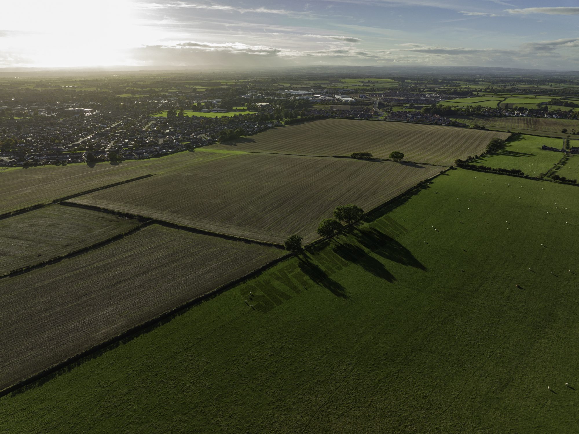
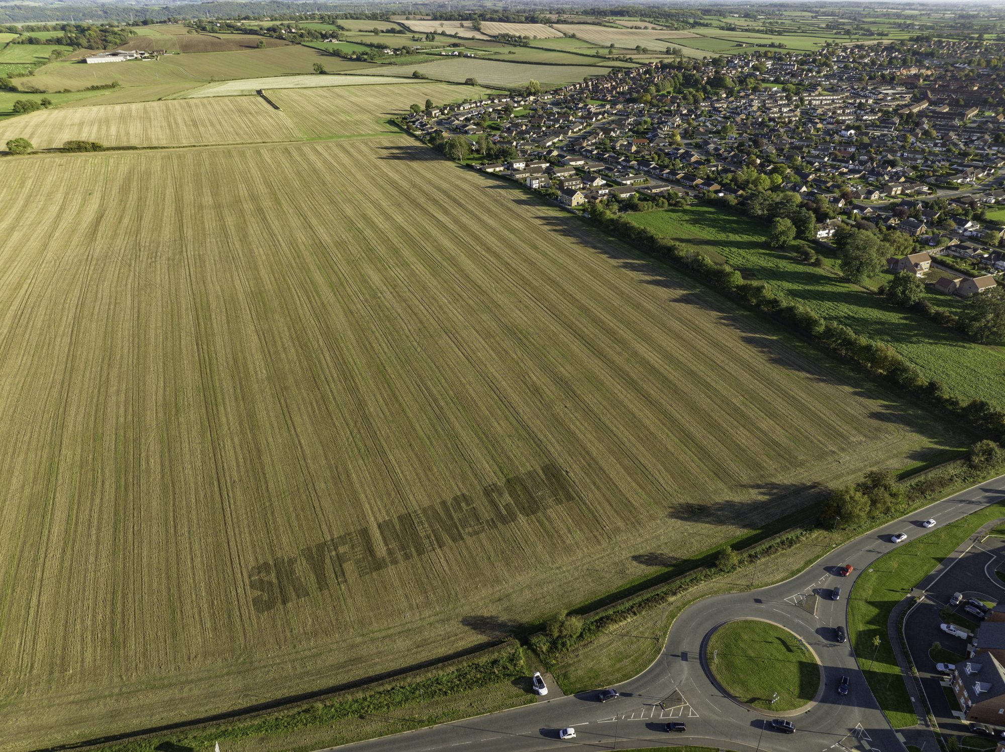
In this instance, however, we were working for Savills UK in Lincolnshire, Yorkshire and Northumberland capturing drone aerial images and video clips of various large areas of land that were used for planning housing estate projects.
We flew the drone around the entire site at each location to get images from various angles that were given to use by the client using screenshots from Google Maps.
Furthermore, by stitching overhead images we can create a high resolution map of the project’s space.


 07837 036 042

Leave a Reply