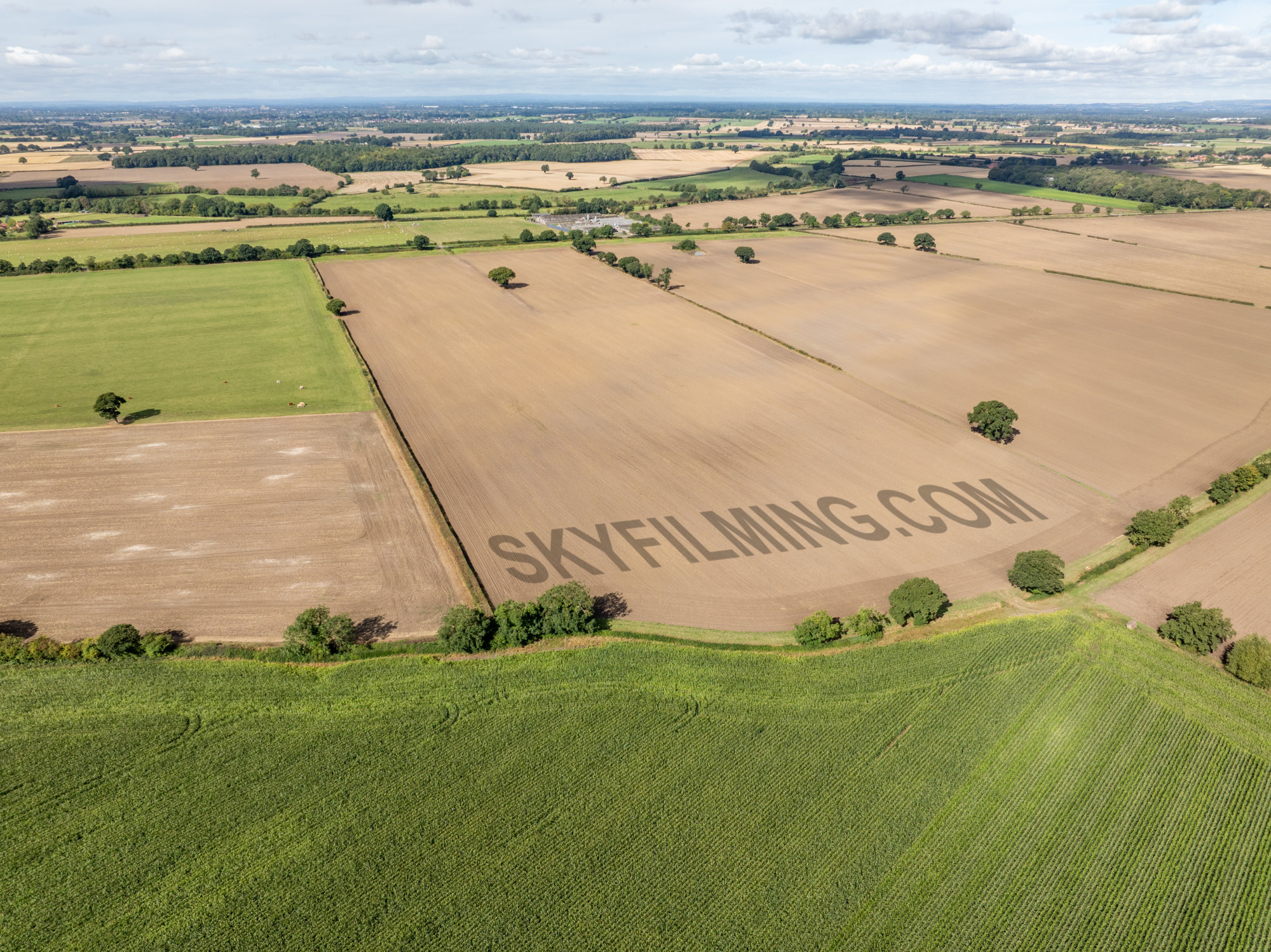
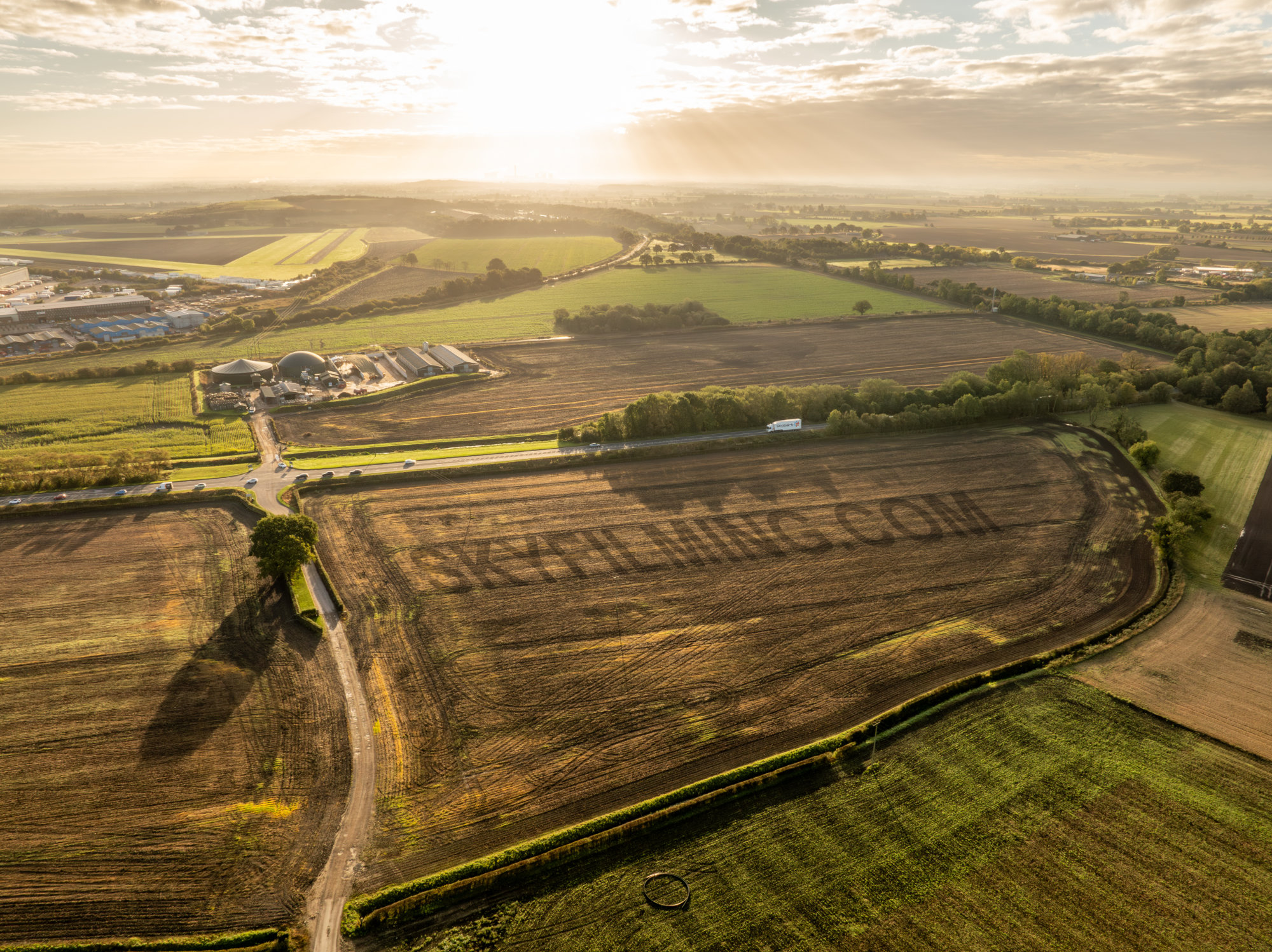
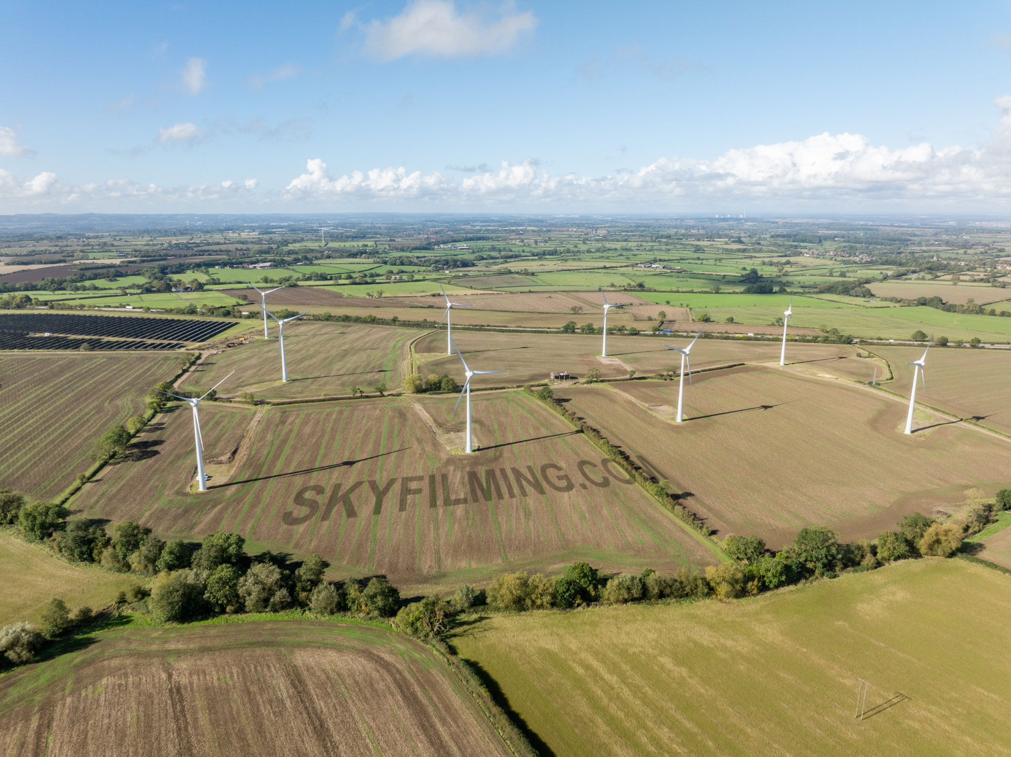
This is part of an ongoing project with a green energy company, travelling around the country creating drone video overviews of land that are possible sites for solar and/or wind turbine farms.
From the attached images, it may seem like just taking pictures or videos of empty fields, quite boring? That is basically the idea, only with these empty fields, we have to imagine specific buildings, approaches and layouts are already in place and fly around them and amongst them. We do this becauase a computer model of the proposed green energy plant is then superimposed upon the drone video clips, and images for artwork, so developers and investors can see how it will look and fit.
You may also spot in one of the photos that one of the sites is next to an airfield? For this we had to contact the airfield and arrange a good time to start and finish, very early in the morning in this case, and stay in contact with them and let them know we have finished so they can allow planes to land safely.
 07837 036 042

Leave a Reply